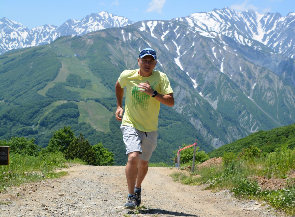
With all the running that’s going on this year in the Hakuba Valley as more and more locals are venturing outdoors after self imposed lockdowns, I thought it was high time I went out to hit the trails.
I wanted to go somewhere that would give me a good old workout but without getting in the way of any of the MTBing, so I planned to head up towards Iwatake on the Tengu-no-niwa trail, skirt the summit and come back down via the north side popping out just below Sierra Resort.
Starting from Echoland I headed past the Olympic ski jump through Happo village and followed the trails through the woods just before Iwatake. To the lookers left of the mountain you can access the forest road which meanders for a couple of kilometers until you come to the dreaded steps. In fact it is clearly marked that there are 342 of them! After the steps there are few places to catch your breath and take in the views of the valley. The trail continues with an adventurous route scrambling over rocks and more steps!
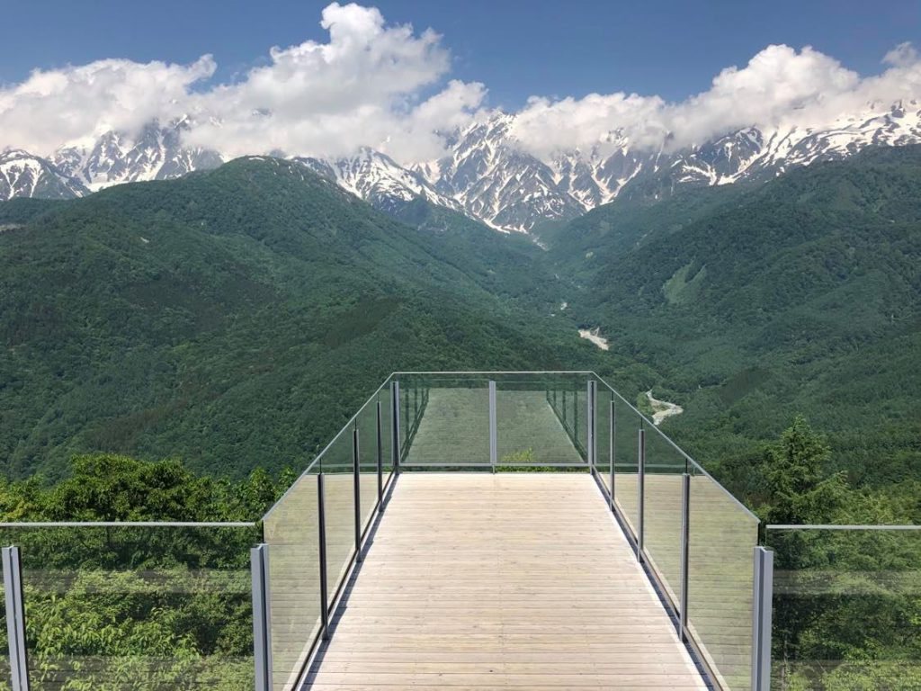
After the forest you come out and head parallel to the MTB course, luckily the lifts hadn’t opened when I reached this point and was able to run up without any mountain bikers . Upon reaching the summit after an hour or so of running and walking I headed over to Mountain Harbor for the obligatory photograph. Unfortunately for refreshments it was too early and had to do with just the water that I was carrying.
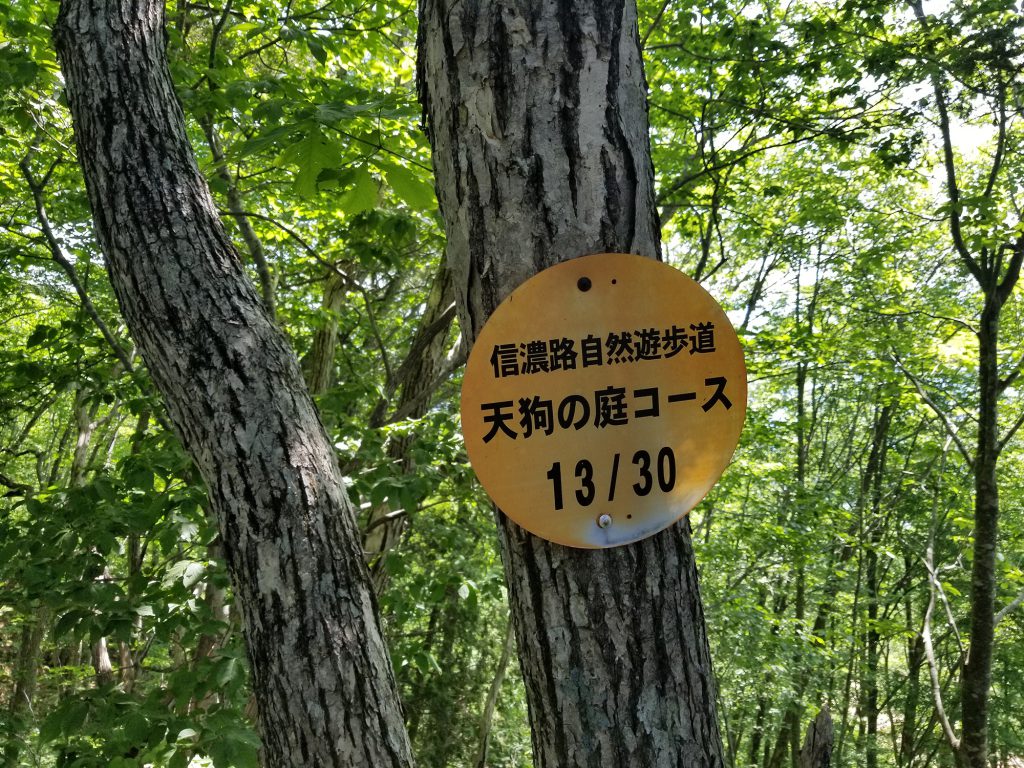
Heading west down the ski field look out the sign to the trail Ho-no-kidaira course, from here the trails are marked with 30 signs counting down all the way. It is a long downhill and while not massively technical, the trail has many roots, steps and even ropes in some of the steep places so watch your footing and wear shoes that offer good toe protection. Please be extra careful if the trails are wet.
After the forest and popping out just below Sierra Resort, follow the road to the Shio-no-mich (Salt Road) sign and continue along to Iwatake Mountain resort’s base gondola. Then just retrace your steps back to your route starting point.
The entire route took me just under 3 hours at a hike-trot kind of pace, covering about 21km with approximately 800m of elevation gain
- Take water – even if you don’t like to carry a pack you’ll be glad of a refillable bottle or hip flask.
- Take snacks – if you’re going to be out for more than an hour you’ll need to refuel. Being even slightly hungry can make you lose focus and become more likely to trip and hurt yourself.
- Cover your head – many of the higher mountain trails are very exposed with little shade, a sun-induced headache can come on very quickly if you’re not wearing a hat or visor.